

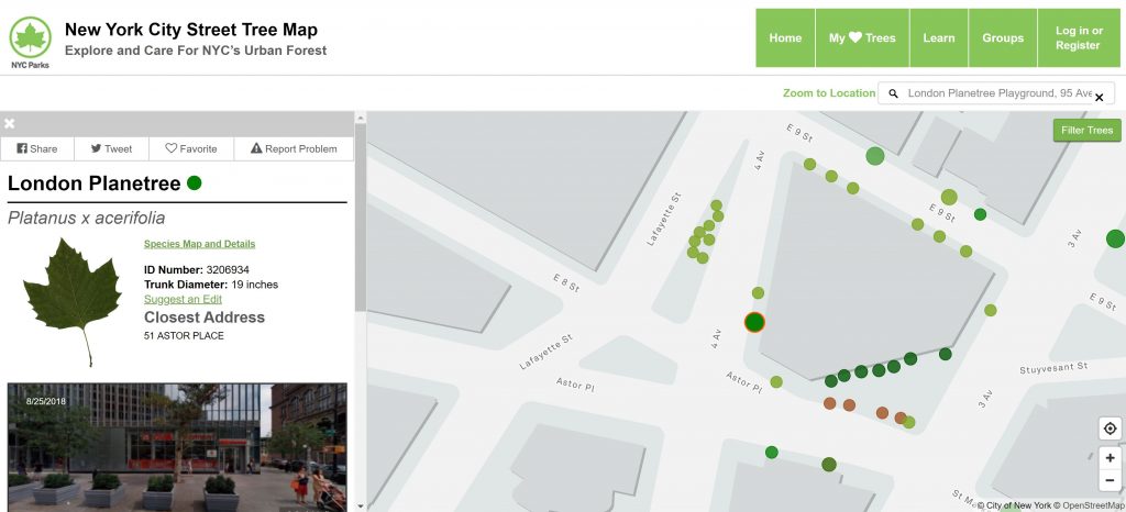
The City of New York has developed an online interactive map that geo-locates the existing street trees planted across the 5 NYC boroughs (almost 700,000 trees). The NYC Street Trees Map was developed with the help of over 2,000 volunteers, park officials and specialists from the NYC Parks and Recreation Department.
On the map, the trees are represented by color-coded circles with different diameters that reflect the diameter of the tree crown. The main source of this interactive map is the TreesCount! 2015 Tree Census which includes tree species, diameter and perception of health, and it’s available for download as a GIS map from the NYC Open Data portal. In addition, users are also able to report changes or request updates to the information shown by map by filling out an online feedback form.
This highly interactive tool allows you to click on any specific tree across the city and pull up a detailed section describing trees characteristics such as leaf shape, species name (both, common name and scientific), trunk diameter, exact location and another section that describes the main environmental benefits provide by that tree, including the volume of stormwater intercepted, energy conserved, air pollutants removed, Carbon dioxide reduced and total annual benefits in USD. These values are calculated using formulas from the U.S. Forest Service.
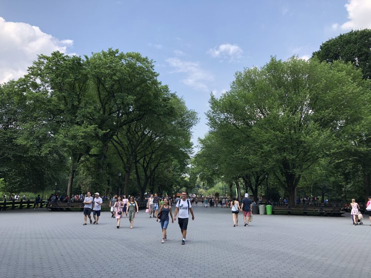
The most common street tree in New York is the London Planetree (Platanus x acerifolia), a large deciduous species that grows about 66 to 98 feet tall with an unique bark texture (smooth and exfoliating) and maple-like translucent leaf that allows the sunlight to pass through creating light shadows underneath. London Planetree is also extensively used as a street tree in other cities across the world including London (where it accounts for over half of the city’s tree population), Paris, Barcelona, Shanghai (especially in the Old French Concession) and Australian cities as Melbourne, Sydney and Adelaide. This genus (Platanus) is widely used because it adapts very well to urban environments by tolerating urban pollution.
This tool is very user-friendly and resourceful. I particularly always have it ready on my phone to check and I hope this interactive map also help you explore the urban forest of this great city!


Add comment